Geology and Minerals
Brig Bay
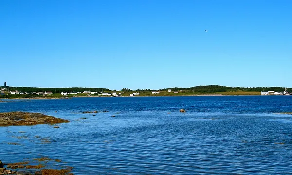
Brig Bay
Brig Bay is a local service district and designated place in the Canadian province of Newfoundland and Labrador. It was first mapped by Captain James Cook in September 1764. The name "Brig" was adopted by the French who occupied the bay prior to English occupation. It provided a safe and well-sheltered harbour.
Also on this shelf
2011–12 El Hierro eruption.
1969 Santa Barbara oil spill.
See also
Uncatalogued shelfText from Wikipedia; plate via Wikimedia Commons. Text CC BY-SA 4.0; plate freely licensed (see Commons). Source record. Images and catalogue data are reproduced from open-access collections.
Depth 15
Shelf 697b0e3579bed4
25,934 catalogued holdings
3 ways on