Maps and Exploration
Andvord Bay
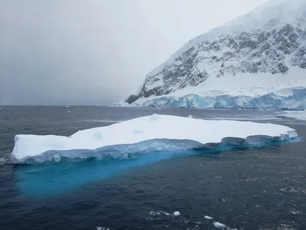
Andvord Bay
Andvord Bay (64°50′S 62°39′W) is a bay, 9 nautical miles (17 km; 10 mi) long and 3 nautical miles (5.6 km; 3.5 mi) wide, which lies between Beneden Head and Duthiers Point along the west coast of Graham Land, Antarctica.
Also on this shelf
2015 in spaceflight.
Brahmaputra River.
See also
Uncatalogued shelfText from Wikipedia; plate via Wikimedia Commons. Text CC BY-SA 4.0; plate freely licensed (see Commons). Source record. Images and catalogue data are reproduced from open-access collections.
Depth 27
Shelf 79f58686e2c641
25,934 catalogued holdings
3 ways on