Maps and Exploration
Clarksburg, Maryland
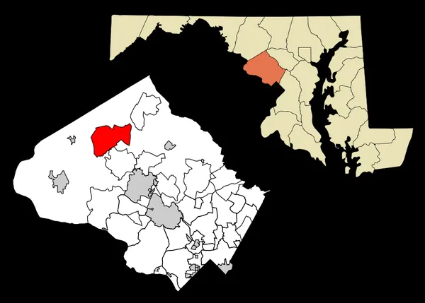
Clarksburg, Maryland
Clarksburg is a census-designated place and an unincorporated area in northern Montgomery County, Maryland, United States. It is located at the northern end of the Interstate 270 technology corridor, approximately four miles north of Germantown. As of the 2020 census, Clarksburg had a population of 29,051.
Also on this shelf
2012 United States presidential election in West Virginia.
Abbeydale Picture House.
See also
Uncatalogued shelfText from Wikipedia; plate via Wikimedia Commons. Text CC BY-SA 4.0; plate freely licensed (see Commons). Source record. Images and catalogue data are reproduced from open-access collections.
Depth 50
Shelf 83ed64bd14d321
25,934 catalogued holdings
3 ways on